Freedom Challenge × #TEAMLEN
The first challenge · Sunday, August 16, 2026 · 6:30 a.m. · Fundación Loros
Así se vivió la primera edición
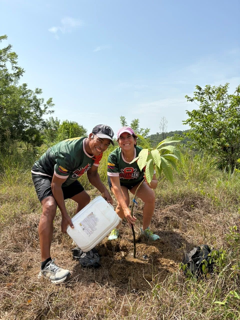
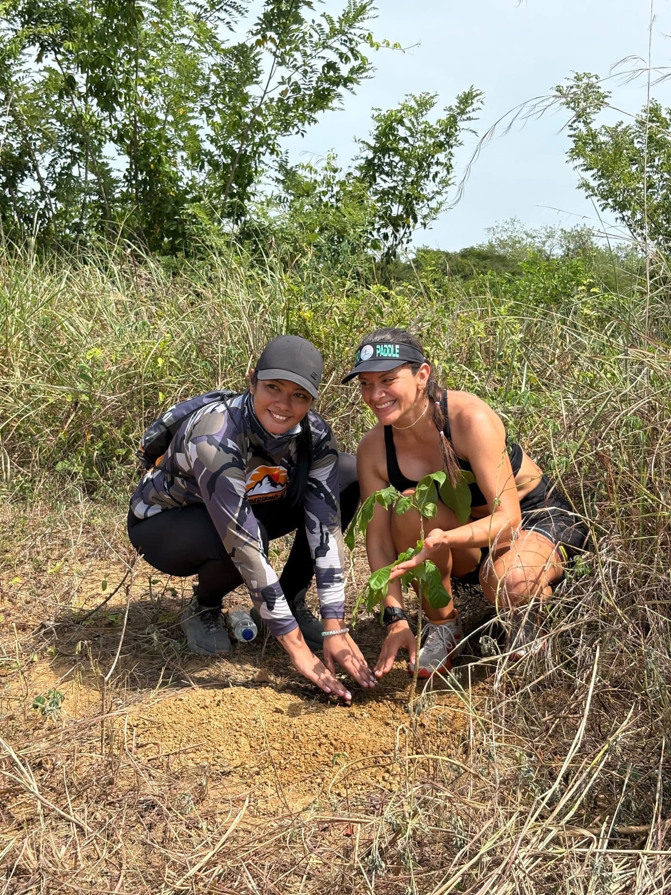
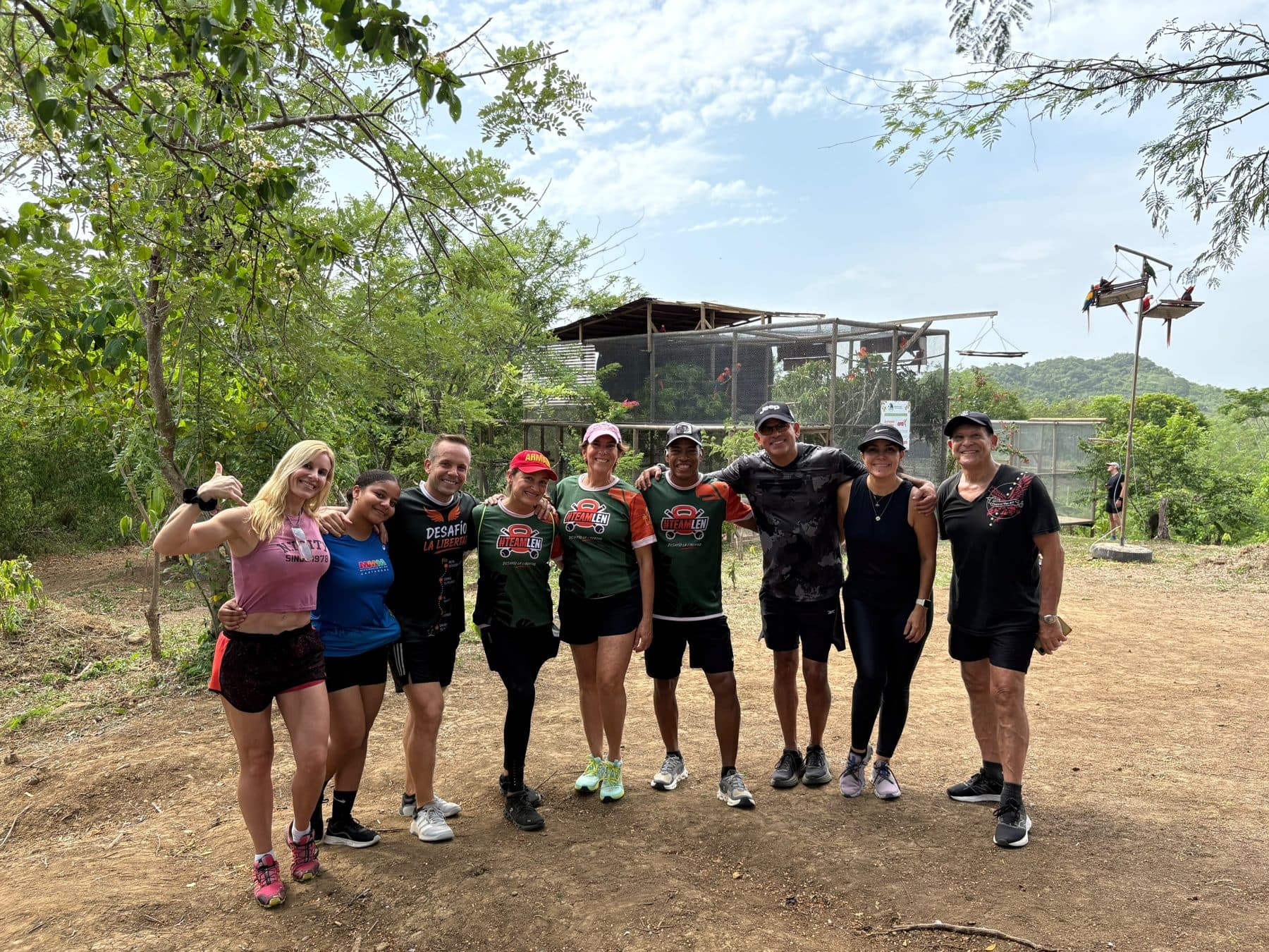
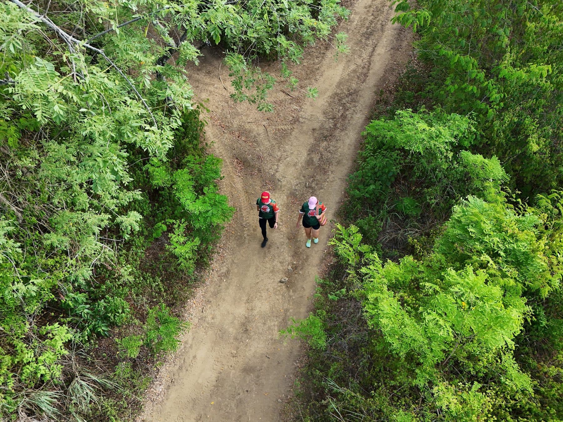
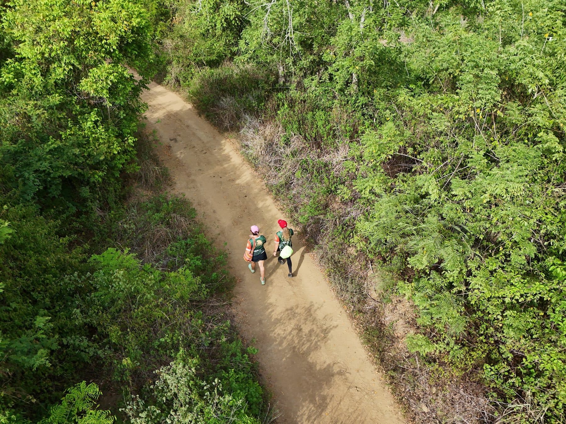
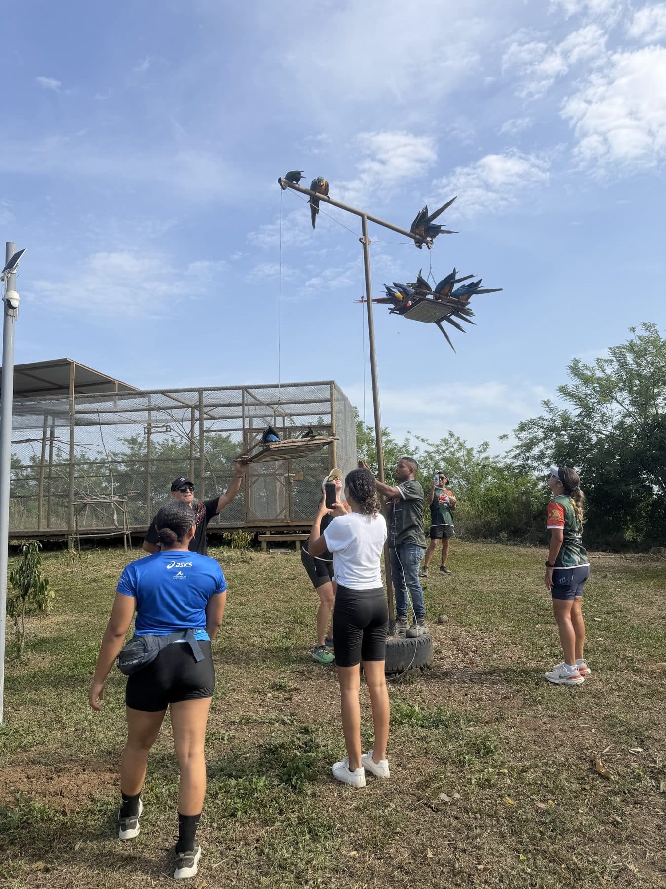
El domingo 16 de agosto de 2026 se corrió el primer Desafío La Libertad. Sesenta y un personas recorrieron el bosque seco por las rutas Jaguar y Guacamaya, cargaron agua, conocieron a las guacamayas que ya vuelan libres — y dejaron el territorio mejor de como lo encontraron.
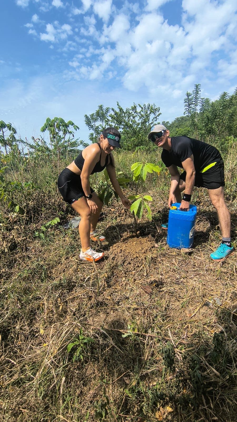
Los 30 árboles —bongas, ceibas de leche, caimitos, palo brasil, camajón, jobo, níspero, sapote y mamón— vinieron del Jardín Botánico de Cartagena «Guillermo Piñeres» y hoy crecen dentro de la reserva, sembrados por las manos de quienes corrieron. Gracias a cada participante, al equipo de #TEAMLEN, a los guías y al equipo de la Fundación que hizo posible el día. Así lo contó El Universal →
Contar lo que viviste hace que más personas encuentren este lugar — y más personas significan más apoyo para las aves.
⭐ Dejar mi reseña en GoogleEl día, en fotos
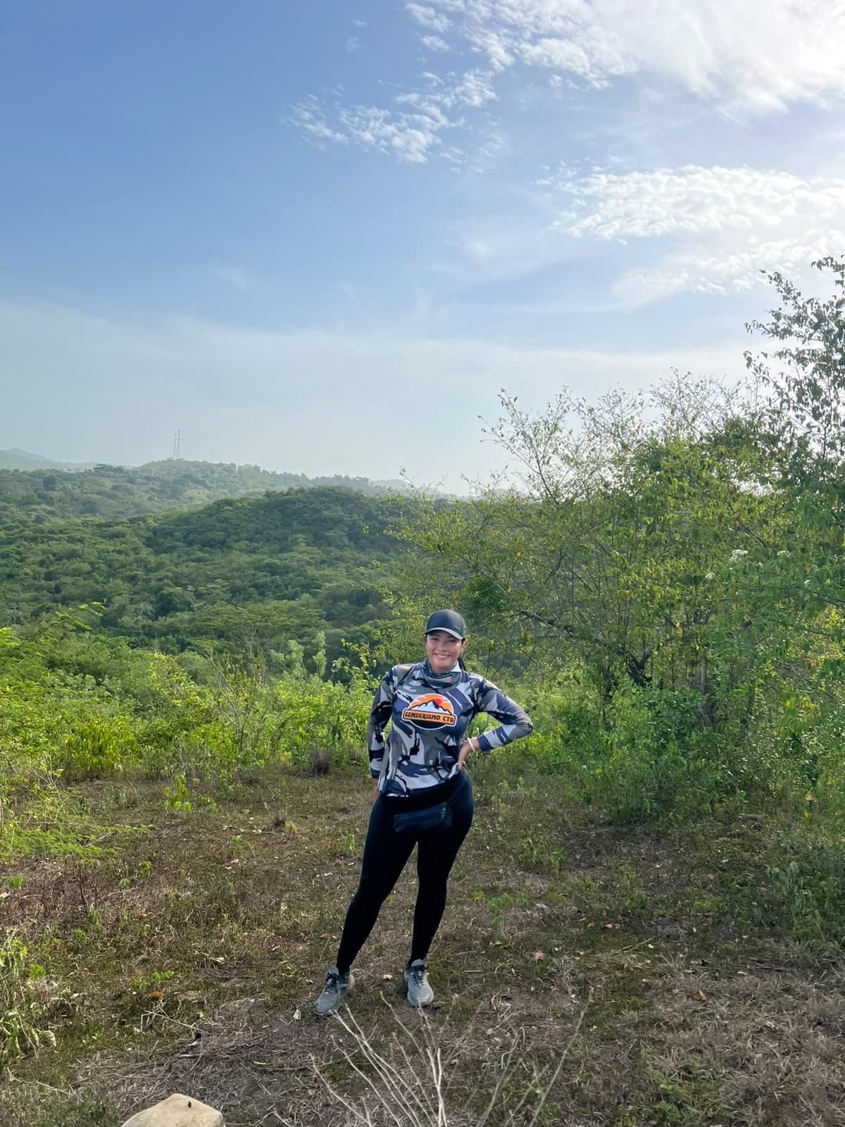
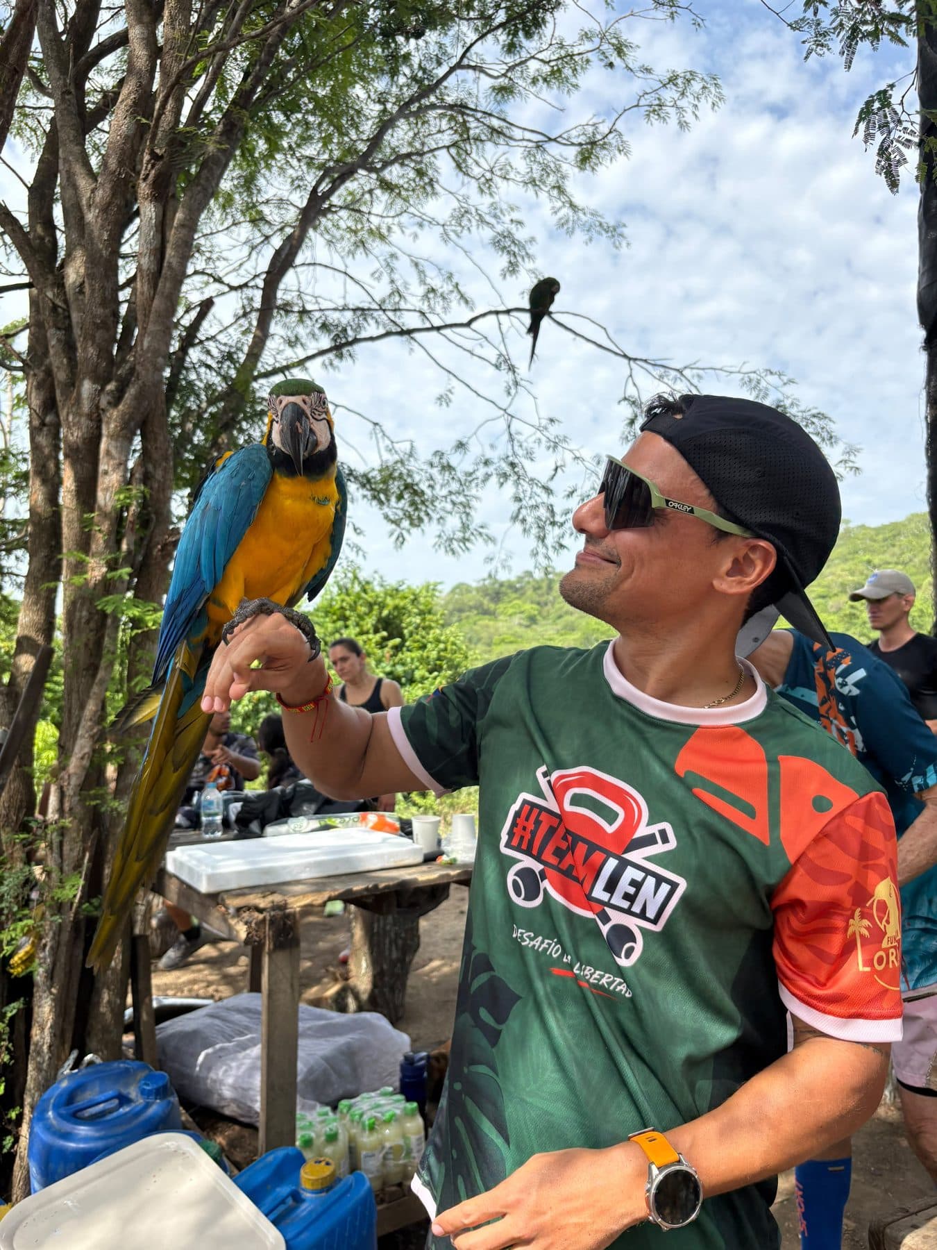
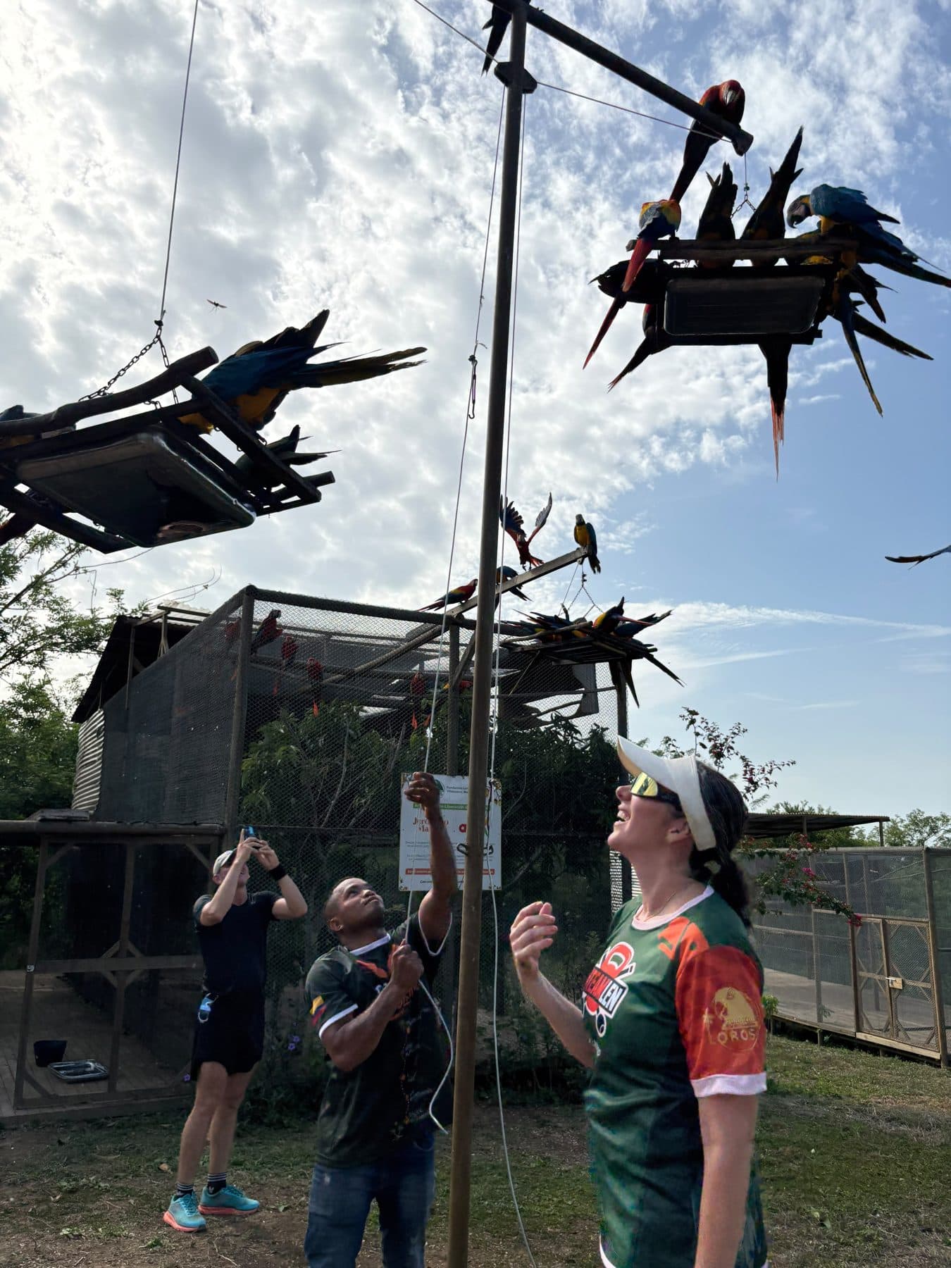
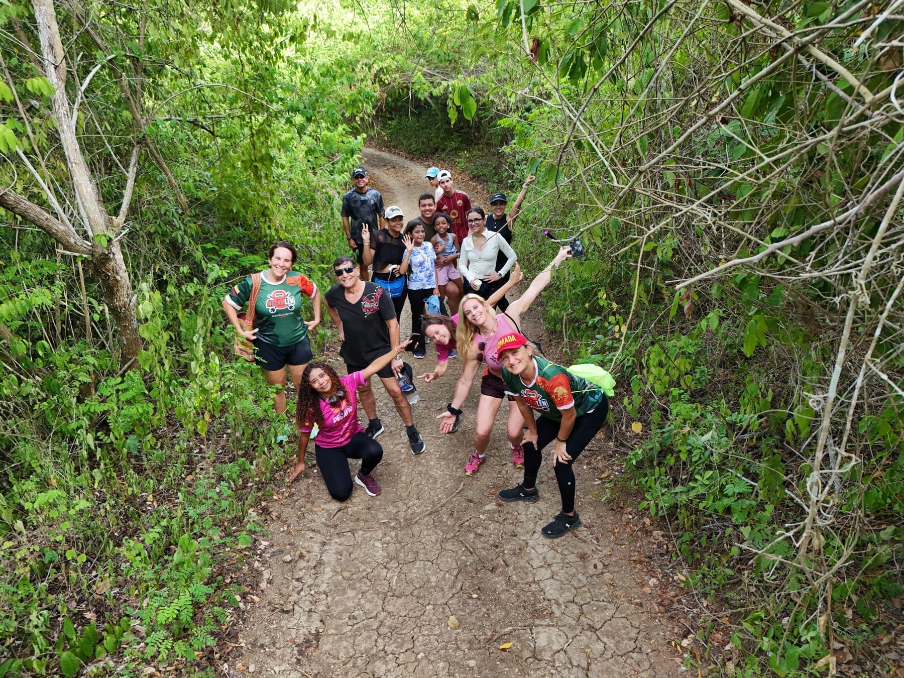
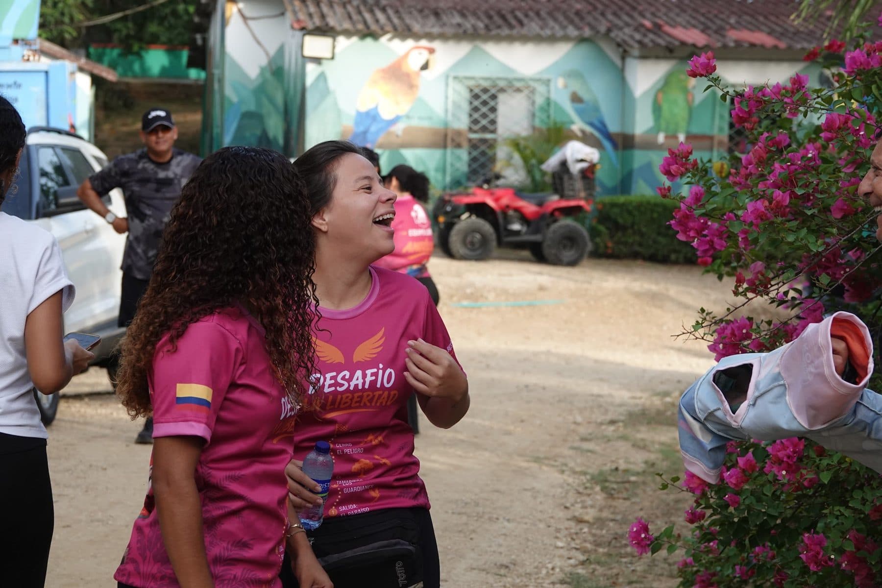
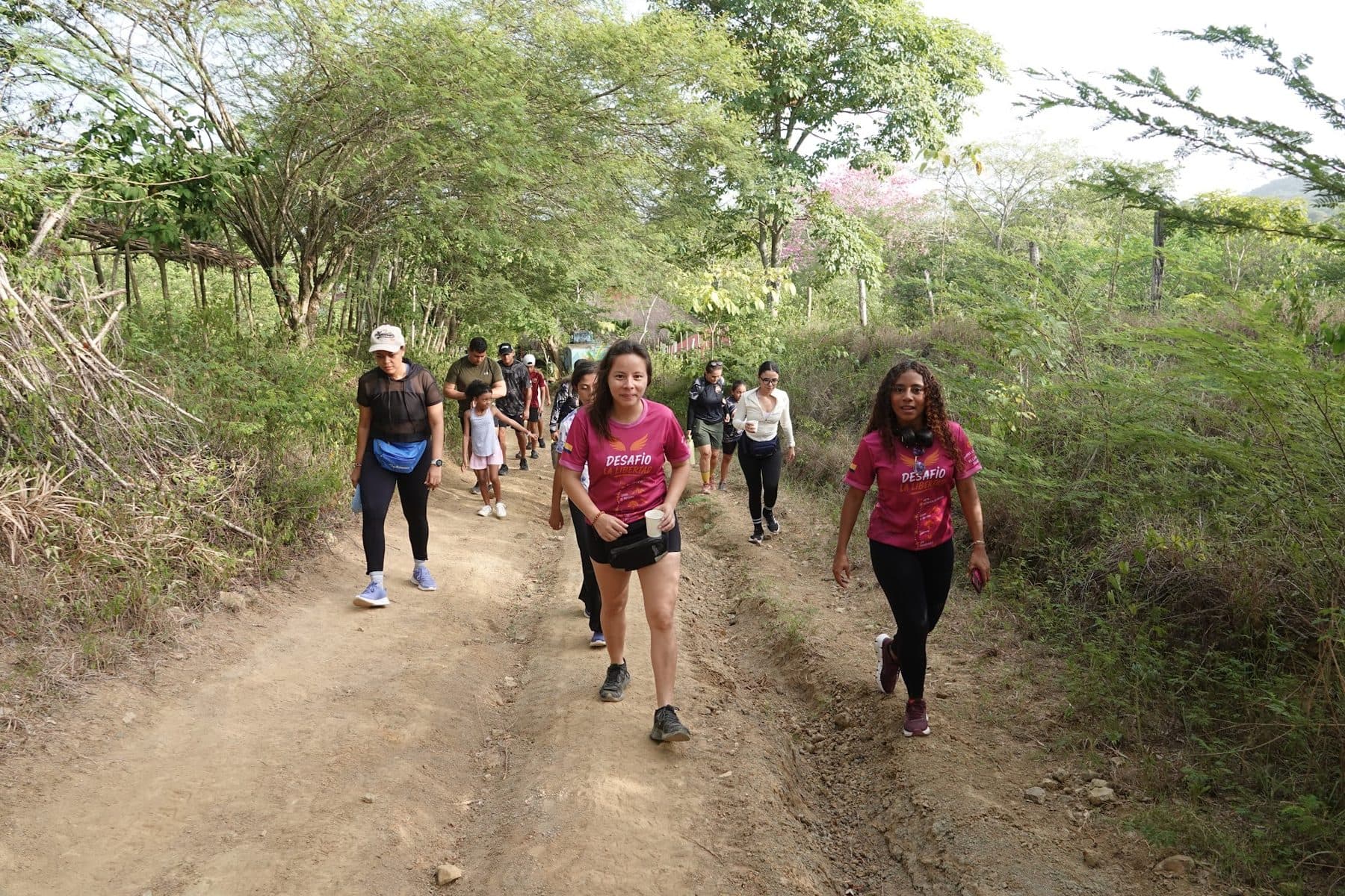
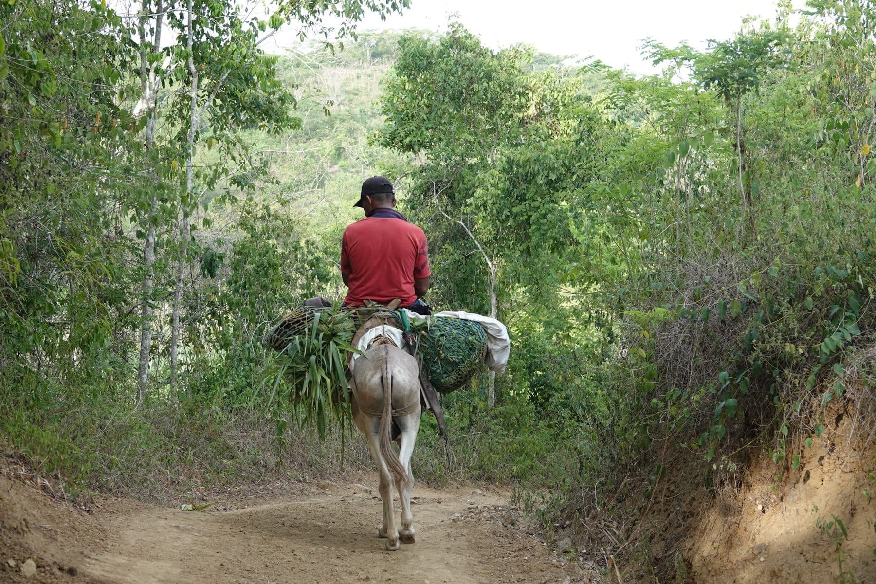
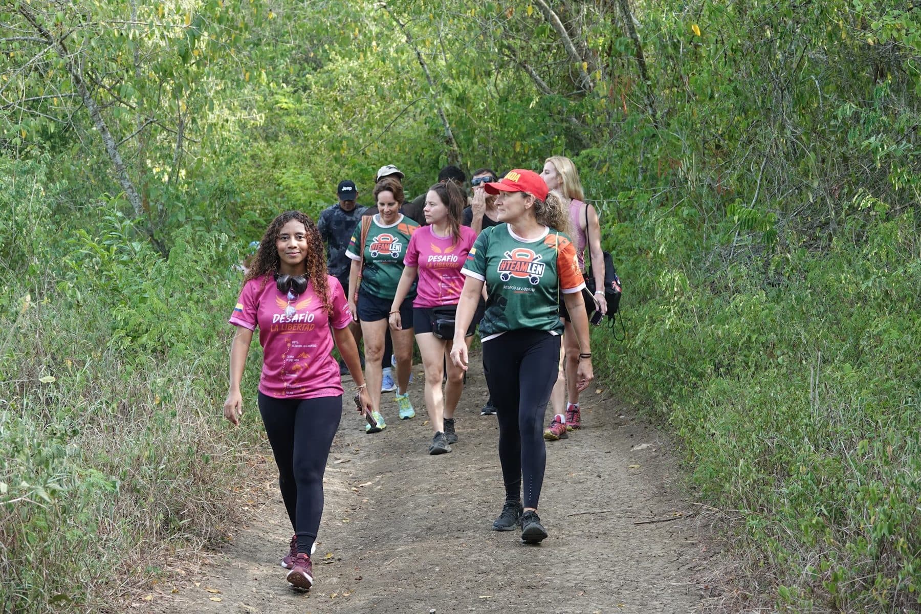
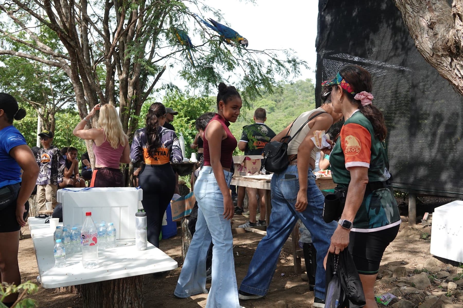
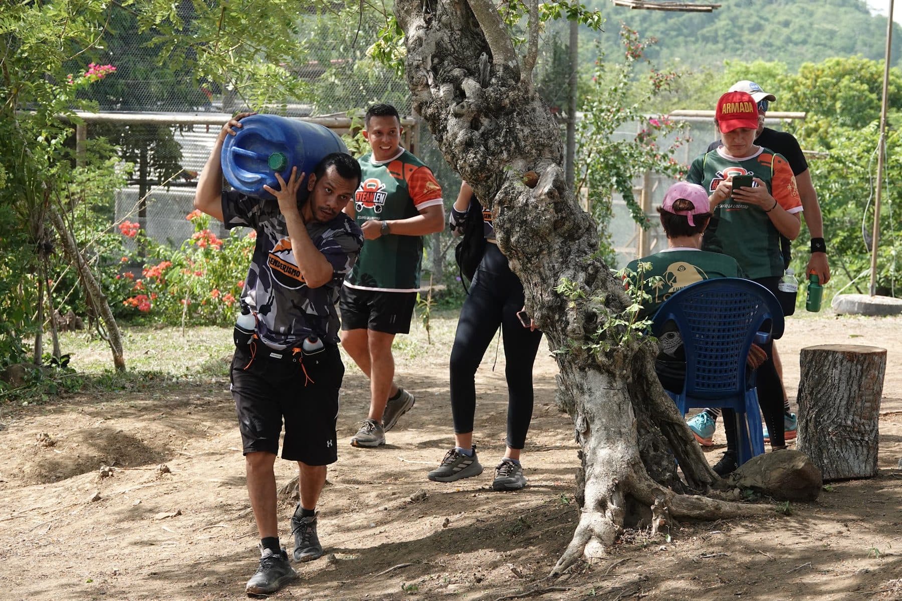
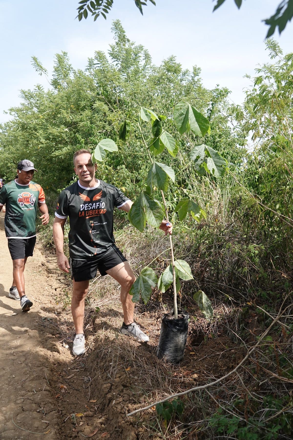
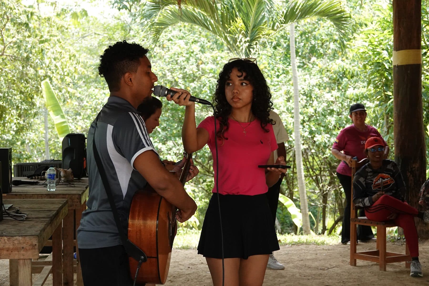
The first Freedom Challenge
Fundación Loros — the Colombian Caribbean organization that gives a second chance to parrots and macaws rescued from illegal trafficking — and training crew TEAMLEN join forces to open the program: a morning of running and real conservation work across the reserve trails, with 3 or 7 km routes, feeding-station refills, tree planting and a finish no gym can offer — a picnic at the release point, watching the birds you ran for fly free.
TEAMLEN in action
Two levels, one trail
Both routes start together at the rehabilitation centre and end at the same point. What changes is the distance and how much broken ground you get along the way.
🦜 Macaw level (basic)
3.6 km · +165 m of climbing · −53 m of descent.
For those starting out or keeping a conversational pace. Note: basic refers to the distance, not to the terrain being flat. You climb from 131 to 258 metres, averaging 8 % with ramps of up to 24 %. The high point comes at kilometre 2.8 — the hard part is at the end.
🐆 Jaguar level (advanced)
7.7 km · +291 m of climbing · −168 m of descent.
For those who like it rough: creek crossings, rock and raw trail — the reserve's real terrain, unsoftened. It goes up and down the whole way, and those 168 metres of descent on loose ground tire you as much as the climbs. The longest sustained climb is 107 metres of unbroken ascent, and the summit also sits at the end, at kilometre 7.
🚶 Getting back
Both routes finish about 2.6 km from the start. From there you walk back to the rehabilitation centre together, at an easy pace. That walk is not part of the race — the clock stops at the finish line.
Distances and elevation measured against the reserve's terrain elevation model (0.5 m resolution), sampling the actual route every 5 metres.
The map of the two routes
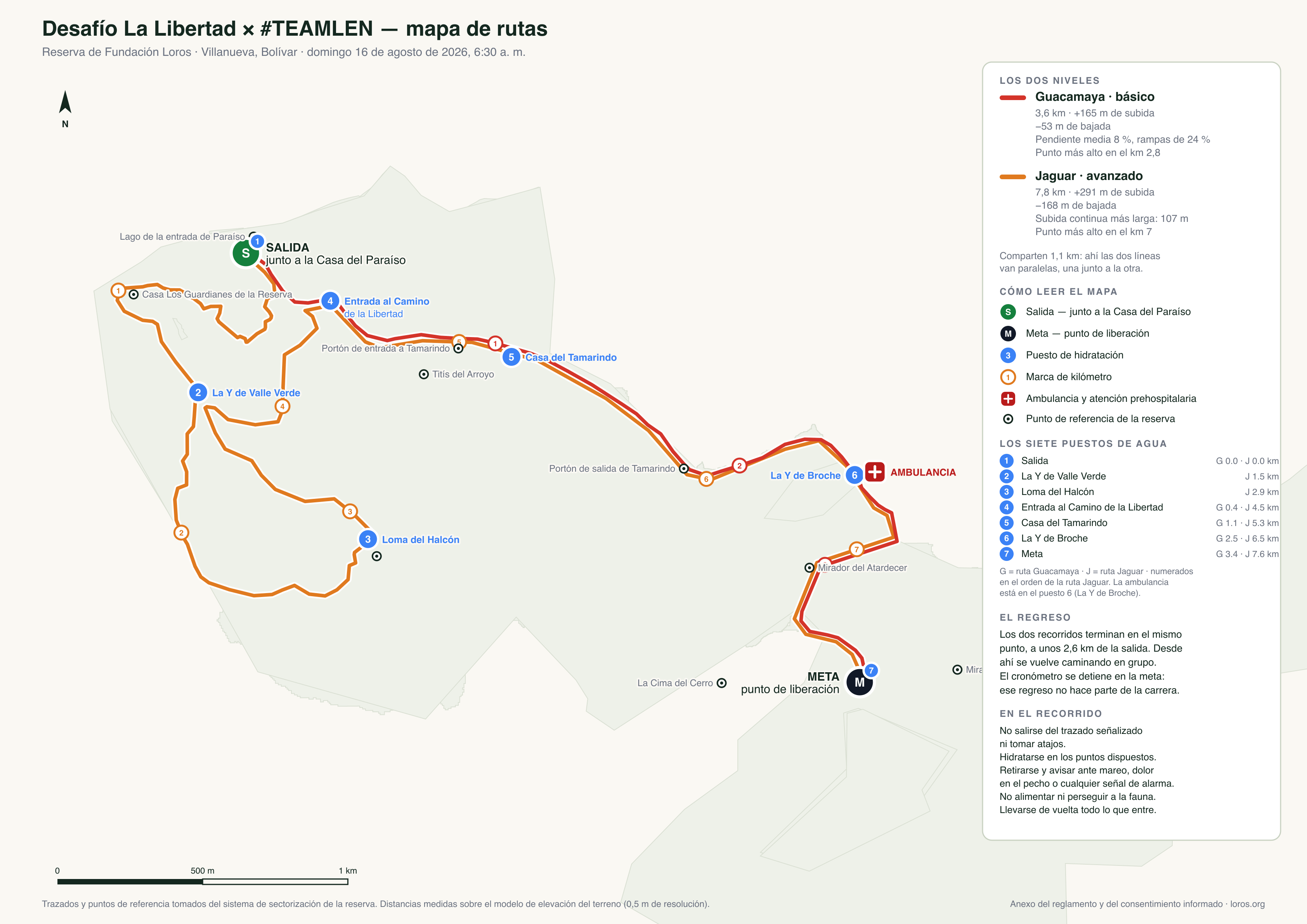
Start, finish, kilometre markers, the seven water stations and the ambulance. It is measured against the reserve's real terrain —not drawn by hand— and you can download it to carry a printed copy.
Where the water is
The stations are numbered in the order of the Jaguar route, the only one that passes all of them: the number on the map is the same one in this table. On the Macaw route you will find stations 1, 4, 5, 6 and 7.
| Station | Macaw | Jaguar |
|---|---|---|
| 1 The start (Casa del Paraíso) | km 0 | km 0 |
| 2 La Y de Valle Verde | — | km 1,5 |
| 3 Loma del Halcón | — | km 2,9 |
| 4 Entrance to the Camino de la Libertad | km 0,4 | km 4,5 |
| 5 Casa del Tamarindo | km 1,1 | km 5,3 |
| 6 La Y de Broche · 🚑 ambulancia | km 2,5 | km 6,5 |
| 7 The finish (release point) | km 3,4 | km 7,6 |
🚑 The ambulance and its pre-hospital care crew are at station 6, La Y de Broche: kilometre 2.5 of the Macaw route and kilometre 6.5 of the Jaguar.
🚻 There are two restrooms: one at the start, next to Casa del Paraíso, and one up at the high point of both routes — that one is 100 metres off the trail, so it is a short detour, not on the way.
Download for printing (PNG) · vector version (SVG)
The same map, with the full explanation, is the annex to the rules and the informed consent.
Take the route with you
Both routes are published on Wikiloc with the real track we measured on the reserve. Open them to see the elevation profile kilometre by kilometre and to download the GPX file, which you can load onto your watch or your phone and follow in the field even with no signal.
🦜 Macaw route (basic)
🐆 Jaguar route (advanced)
About the figures: Wikiloc computes elevation gain by smoothing the GPS track, so its number comes out lower than ours. The official ones for the race are in «Two levels, one trail» —+165 m on the Macaw and +291 m on the Jaguar— measured against the reserve's terrain elevation model, sampling the route every 5 metres. The distance does match in both.
Download the route: GPX for Strava, Garmin, Wikiloc or Komoot
These are the GPX files for both loops, built from the reserve's real track with elevation sampled from our terrain model. They work in Strava, Garmin, Suunto, Coros, Wikiloc, Komoot, AllTrails and Gaia — and any watch or app that follows routes.
To load it into Strava: on desktop, go to My Routes → Create New Route and upload the file. Strava imports GPX, TCX and FIT — it does not accept KML or KMZ — and recalculates elevation with its own data, so its figure may differ slightly from ours.
Download them before you come: there is signal on the trail, but downloading a file at seven in the morning while the group leaves is no plan.
👕 The official #TEAMLEN jersey
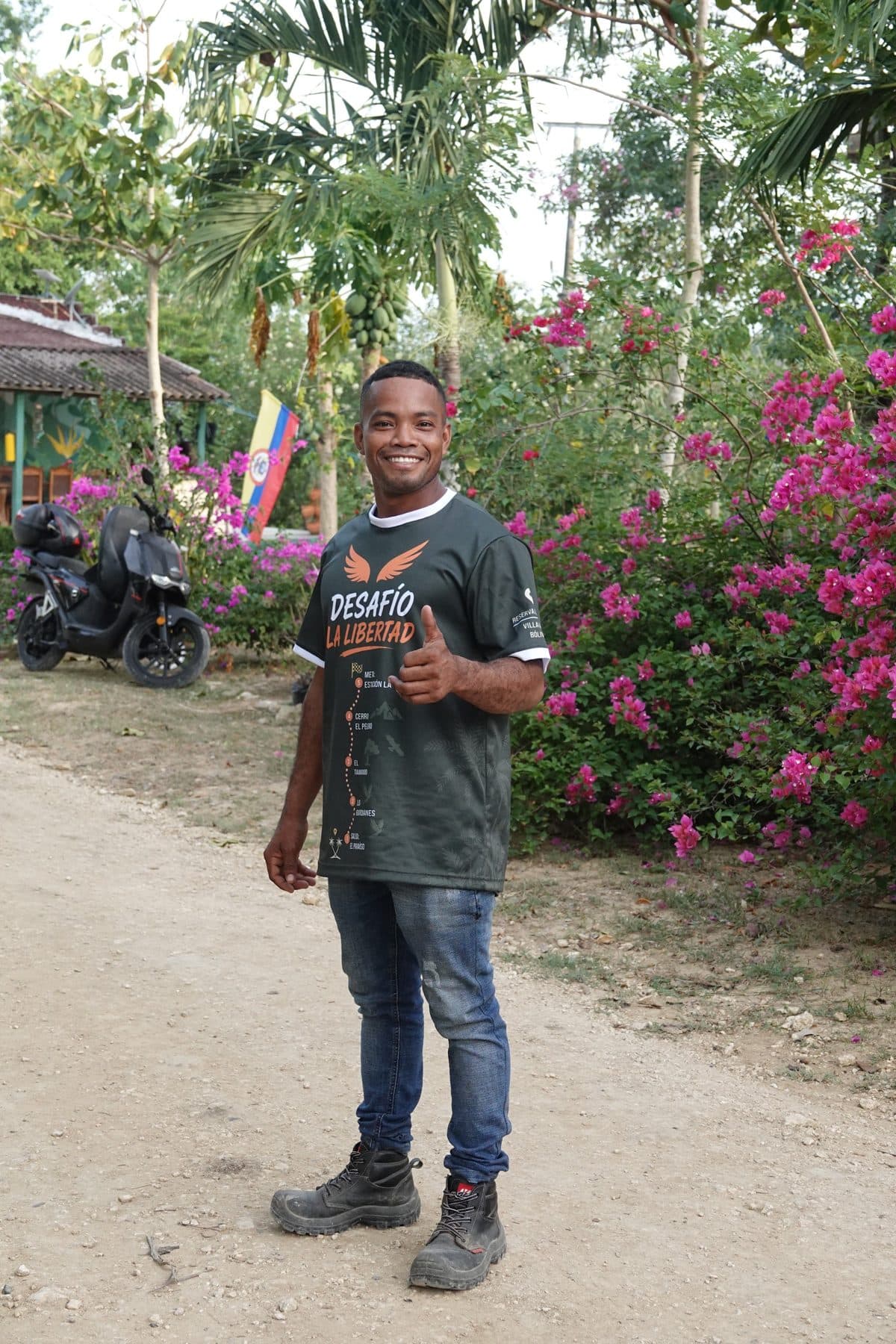
Run in the colours of the challenge and take home a keepsake that keeps working for the birds long after August 16: every jersey helps fund the rehabilitation and release of parrots rescued from trafficking. Exclusive design, sports fabric, and the Colombian flag on the sleeves.
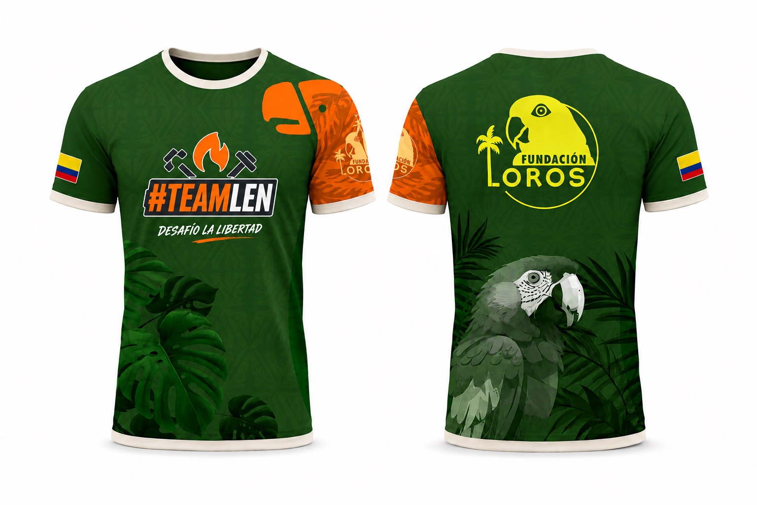
It is optional and added in the registration form along with your size — you can run with or without it.
Así se ve la reserva
About TEAMLEN

TEAMLEN is the training crew led by Léntulo Torres. Their philosophy: a good lifestyle is built on balance, training three pillars — strength, flexibility and endurance — for a body that is stronger, more functional and ready for any challenge. As they put it: “It's not just training, it's building a better version of you.” Follow them at @teamlenoficial →
About Fundación Loros
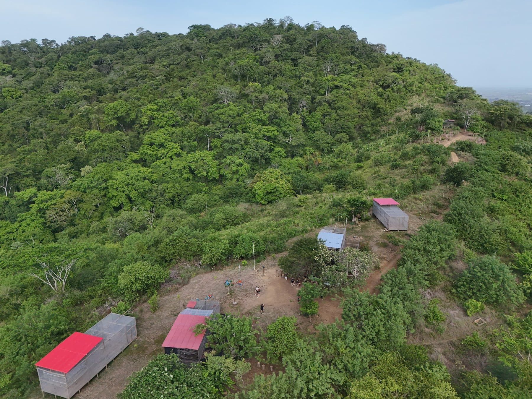
We are a nonprofit from the Colombian Caribbean dedicated to rescuing, rehabilitating and returning to the forest parrots and macaws that were victims of captivity and wildlife trafficking. We work in a 520-hectare tropical dry forest reserve in Villanueva (Bolívar), near Cartagena — Colombia's only specialized center for parrots, with a release method that is now peer-reviewed science. Learn who we are →
¿Estuviste en el Desafío? Tu reseña vale más que cualquier donación
Were you at the Desafío? Sharing your experience helps more people find this place — and brings more support to the birds. It takes 2 minutes.
⚠️ All visits are by appointment. We don't take walk-ins. Coordinate your visit over WhatsApp before you come.
How to get here
By car: Uber or InDriver
It's the most convenient option and what we recommend if you don't know the area: search for "Fundación Loros — Loros Wildlife Sanctuary" as your destination and the driver will drop you at the entrance.
💡 Tip: ask the driver to go through the northern zone of Cartagena to avoid city traffic.
By bus: there is no direct route from the city center
There is no public bus running from the center of Cartagena to the foundation. Intercity buses only leave from the terminal, so coming by bus always means two legs:
- From the center to the terminal. You first have to get to the Terminal de Transporte de Cartagena, on the Carretera La Cordialidad, on the eastern side of the city (Doña Manuela area) — not the Terminal Satélite del Norte, which serves other routes. From the Historic Center it's about 30 minutes by taxi, Uber or InDriver; more at rush hour. On public transport there's the X104 Transcaribe route (Terminal – Pedro Romero – Centro), which doesn't take cash: you need a Transcaribe card, which you buy at the ticket booth in any station. That route has had detours because of roadworks, so confirm the day's routing at transcaribe.gov.co.
- From the terminal to the foundation. There you take a bus toward Villanueva or Arenal (San Estanislao): they leave every 30 minutes, the trip takes about 40 minutes and costs around COP $7,000 — confirm the day's fare at the ticket booth. Ask the driver to let you off at Fundación Loros.
⚠️ The bus is only advisable if you know the area and speak Spanish. Between the two legs and the waiting, it takes close to twice as long as going by car, and the bus has no fixed stop at the foundation: you have to ask the driver to let you off. If it's your first time out here, come by Uber or InDriver.
Reference times
By car, from closest to farthest. For the two most common starting points we've set up the route in Google Maps:
| From Santa Rosa de Lima | 15 min |
| From Lagos de Mozambique | 35 min |
| From the Terminal de Transportes — see route | 41 min |
| From Serena del Mar | 55 min |
| From Aeropuerto Internacional Rafael Núñez — see route | 59 min |
| From the Historic Center | 1 hour 5 minutes |
| From Bocagrande | 1 h 10 min |
| From Barú | 1 h 20 min |
About the road
The foundation sits on the main highway, which is in good condition — you don't have to navigate dirt tracks or rural paths.
How to get back to Cartagena
The plaza de Villanueva is a 13-minute walk away; from there the same bus runs back, dropping you again at the Terminal de Transporte de Cartagena.
⚠️ Important: this option is only practical for locals. If you're visiting from abroad, pre-arrange a car (Uber or coordinated with the foundation) to take you there and back.
¿Estuviste en el Desafío? Tu reseña vale más que cualquier donación
Contar lo que viviste hace que más personas encuentren este lugar — y más apoyo llegue a las aves. Son 2 minutos.